UN
1 Bank Street
£ 150,000
Description
We don't have a Description for this property.
- Bedrooms
- 1
- Bathrooms
- 0
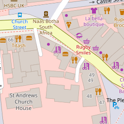
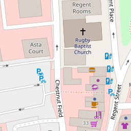
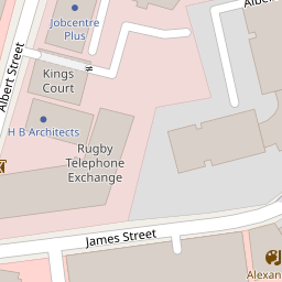
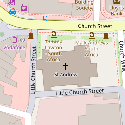
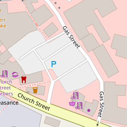

Leaflet © OpenStreetMap contributors
The heatmap indicates the level of crime in the area. The color of the heatmap indicates the crime severity and recency.
Metrics Year-on-Year
- Average area value
- 200,692.00 £Increased by 0.22 %
- Average area rental value
- 835.00 £/moIncreased by 10.16 %
- Est rental Yield
- 4.99 %Increased by 9.91 %
- Crime Rate
- 29.00 %Unchanged by 0.00 %
from 200,243.00 £
from 758.00 £/mo
from 4.54 %
from 29.00 %
Nearby Schools
| Name | Type | Ofsted | Distance |
|---|---|---|---|
| Rugby School | Other Independent School | 0.47 KM | |
| Northlands Primary School | Community School | Good | 0.55 KM |
| Lawrence Sheriff School | Academy Converter | 0.61 KM | |
| St Marie'S Catholic Primary School And Nursery | Voluntary Aided School | Good | 1.10 KM |
| Claremont Children'S Centre (Formerly Rugby Parents Centre) | Children's Centre | 1.13 KM |
Images
Nearby Streets
| Name | Average Price | Average Sqft | Distance |
|---|---|---|---|
| Church Walk | £ 525,000 | 0 | 0.00 KM |
| Albert Square | £ 0 | 0 | 0.00 KM |
| Craven Road | £ 200,000 | 0 | 0.00 KM |
| Rounds Gardens | £ 0 | 0 | 0.00 KM |
| Gavel Drive | £ 0 | 0 | 0.00 KM |
Nearby Transport
| Name | NLC | TLC | Distance |
|---|---|---|---|
| Rugby | 1087 | RUG | 1.25 KM |
Nearby Listings
| Address | Price | Type | Score | Distance |
|---|---|---|---|---|
| Regent Street, Rugby | £ 104,950 | BUY | 5 / 10 | 0.09 KM |
| Regent Street, Rugby | £ 135,000 | BUY | 6 / 10 | 0.09 KM |
| 51-52 Church Street, RUGBY, CV21 | £ 1,150,000 | BUY | 5 / 10 | 0.11 KM |
| Church Street, Rugby | £ 109,950 | BUY | Unknown | 0.17 KM |
| Church Street, Rugby, Warwickshire, CV21 | £ 80,000 | BUY | Unknown | 0.17 KM |
Nearby Properties
| Address | Price | Distance |
|---|---|---|
| 1 Bank Street | £ 150,000 | 0.00 KM |
| 53 Church Street | £ 65,000 | 0.10 KM |
| 66a Church Street | £ 140,000 | 0.10 KM |
| 14b Castle Street | £ 112,500 | 0.12 KM |
| 14a Castle Street | £ 112,500 | 0.12 KM |